by Dan Gruner
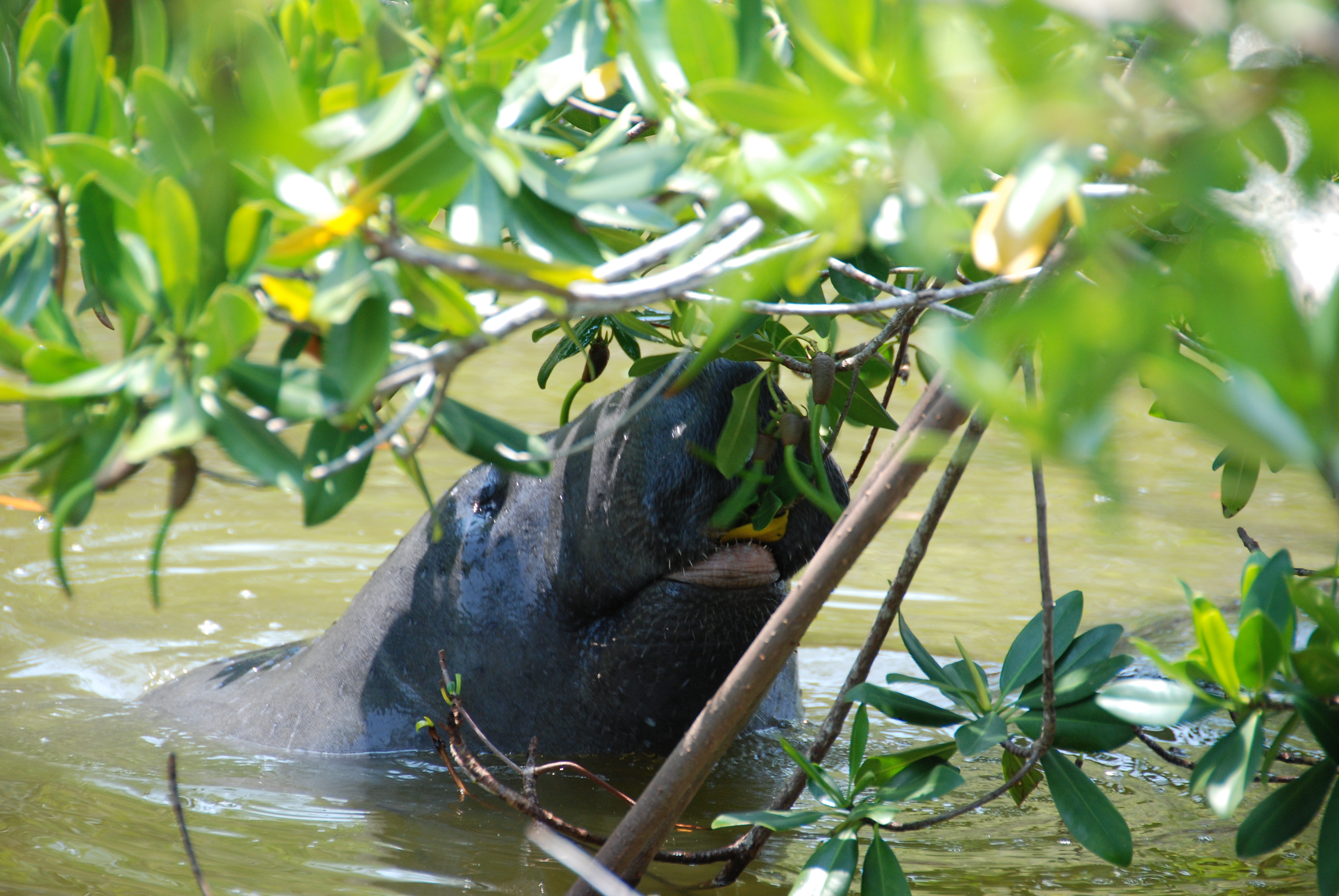
A manatee samples red mangrove leaves and its cigar-shaped propagules. Photo: John Parker
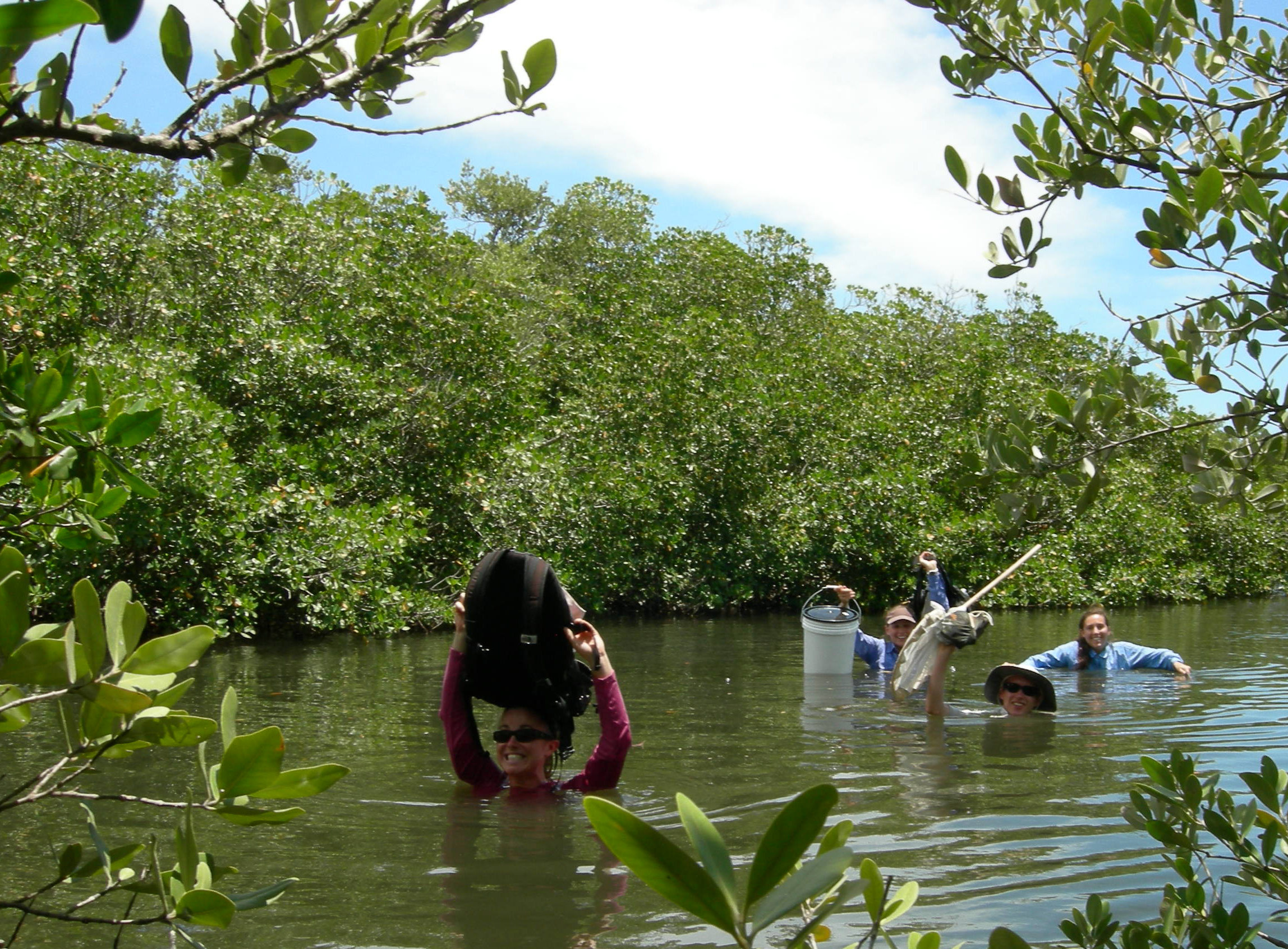
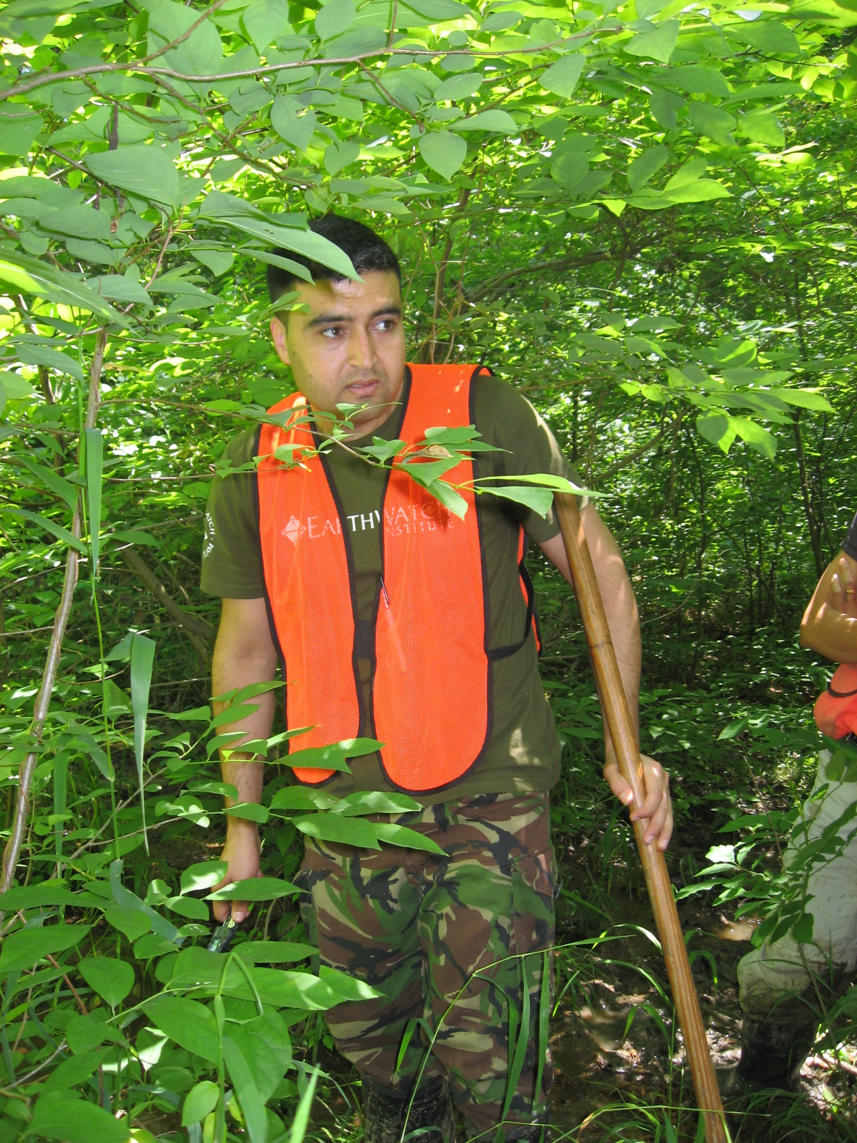
Even with the tremendous leaps we’ve gained from satellite imaging, Google Earth and other technologies, experience on the ground (or in the water) is irreplaceable. Our team must build a network of sites along the lagoons and estuaries of the Florida coast, and ultimately the globe, to understand the causes and consequences of shifts in the range of tropical mangrove species. On this day we probed several mangrove and salt marsh estuaries along the Indian River Lagoon. We tested technologies allowing real-time exploration of satellite imagery while comparing that imagery to landscape and vegetation features we saw on the ground. This was GPS on steroids! By allowing us to optimize site selection and replicate sites all along the coast, these technologies will help us characterize the vegetation of the estuaries and how they’ve changed over time.
But that day our attention was drawn away from new technology to something much older (about 50 million years old): manatees. Click to continue »