
by Sara Aoki
In an era of climate change and global warming, the United States must look to an unlikely savior for reducing greenhouse gas emissions: coastal wetlands.
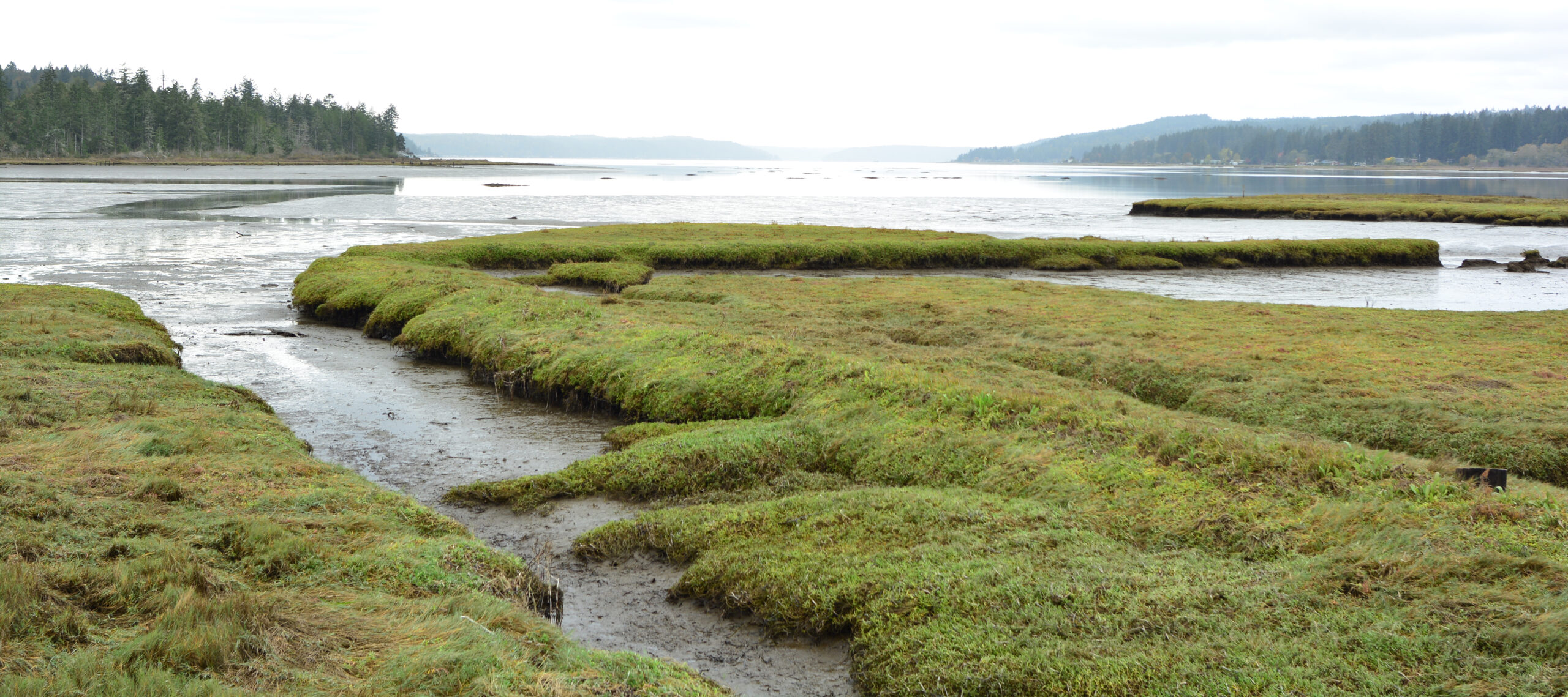
Wetlands, otherwise known as salt marshes or tidal swamps, have achieved celebrity status for their ability to store large amounts of carbon. Unfortunately, man-made structures like bridges and dams have triggered many wetlands to emit carbon in the form of methane, an even more powerful greenhouse gas than carbon dioxide. Luckily, a recent study indicates that some coastal wetlands could slash their methane emissions dramatically–up to the equivalent of 1 million metric tons of carbon dioxide–if they’re restored to their most natural, environmentally friendly state.
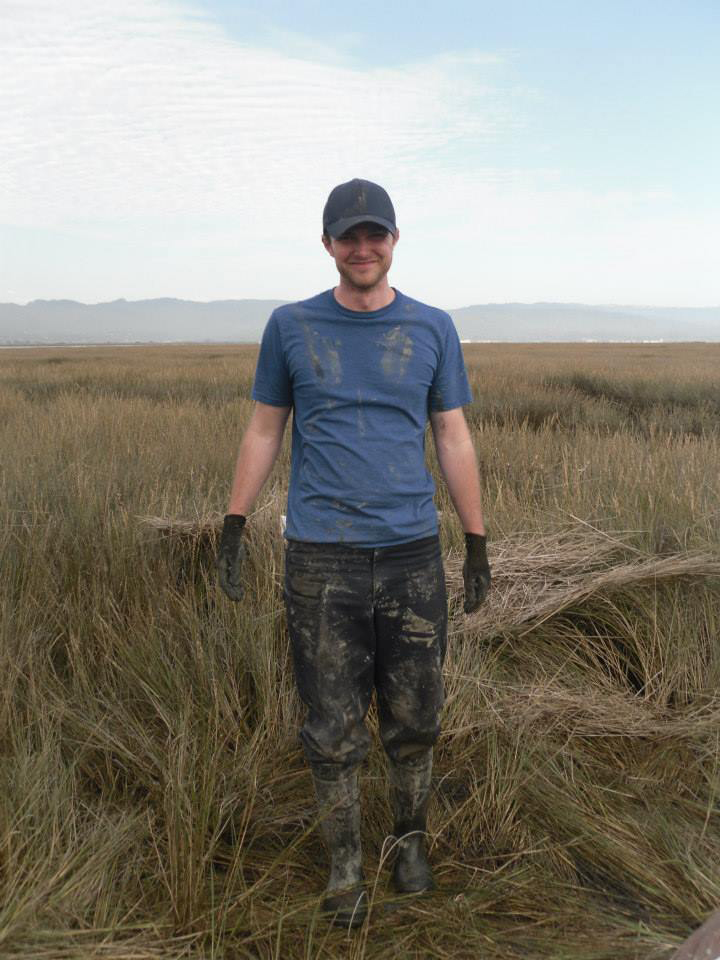
One advocate for wetland restoration is James Holmquist, a researcher based at the Smithsonian Environmental Research Center. “I am like a child of the coast … I grew up kayaking around the wetlands in Long Beach and Sunset Beach,” he said.
Now Holmquist is studying wetlands on a national scale. More specifically, he is studying methane emissions from coastal wetlands. Methane has long been a source of concern for environmentalists and conservationists. Fortunately, methane emissions can drop simply by restoring coastal wetlands that have been cut off from the sea.
Wetlands Worth Their Salt
It ultimately boils down to the difference between saltwater and freshwater wetlands.
“Salty wetlands essentially emit minimal methane” compared to freshwater wetlands, Holmquist said. That’s because methane-producing bacteria thrive in freshwater environments, but are much less active in saltwater wetlands.
In fact, some freshwater wetlands are not naturally freshwater wetlands at all. They are actually salty wetlands that have become freshwater because they are blocked from the ocean by some kind of impoundment, like a dam or bridge. By removing the impoundment and allowing water flow to resume, the wetland’s salty state will return. Consequently, the amount of methane the wetland releases will drop as well.
Building a Map of Restoration
Holmquist’s latest study maps tidal wetland locations across the U.S. with potential methane emissions reductions, a powerful tool in the face of climate change.
To create a map of potential wetland restoration sites, Holmquist and his team layered three different maps together: wetland locations across the contiguous United States, coastal land cover and tidal elevation. The coastal land cover map allows researchers to see the way regions’ land cover has changed over time–for example, from wetlands to agricultural. His team paid careful attention to wetlands with an “impounded” status, which indicated an artificial or natural obstacle had blocked the wetland from the ocean.
Next Holmquist asked a critical question: “Are [these impounded wetlands] closer to a freshwater wetland or saltwater wetland?”
Using the three-layered map, researchers were able to determine the original and current saltiness of each wetland. This step was essential for establishing a wetland’s potential reduction in methane emissions.
They discovered that previous estimates had actually underestimated restorable wetland area by half. Roughly 1.3 million acres of tidal wetlands (or 0.53 million hectares) could be good candidates for methane-reducing restoration. That’s twice as many acres as previously thought.
Holmquist’s team even went the extra step of contacting local experts at wetland locations, to collect their wetland observations and verify the information used to build their map. This independent feedback adds a layer of confidence.
“When [the wetlands] are mapped, they are mapped to a high degree of accuracy,” Holmquist said.
Turning the Tide, Nationwide
These findings have enormous implications on a national scale. Across the U.S., restoring freshwater wetlands to the sea could cut methane emissions by the equivalent of 910,000 metric tonnes of CO2 per year. This number is comparable to the annual greenhouse gas emissions from roughly 198,000 cars.
While this number is certainly impressive, this map is about more than numbers. It is also about providing wildlife officials and other concerned individuals with a tool: places where change can begin.
“Communicating the data is what matters,” Holmquist said. “And this paper is the result of trying to communicate the data to the people who need it, doing the policy making around wetland restoration.”
Change is already beginning to happen. An estimated 18% of wetlands identified in the map are slated for restoration. Hopefully, with Holmquist’s map, more wetlands will follow the same trend. With continued monitoring, advocacy and research, restored wetlands will be a key part of the country’s plan for natural climate solutions.
