by Kristen Minogue
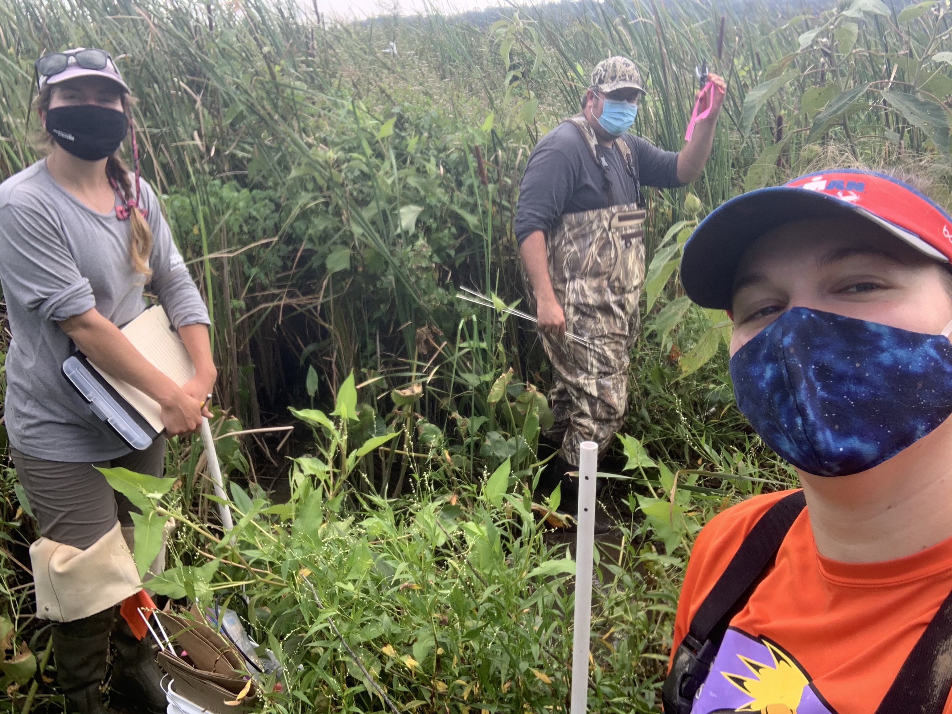
Erika Koontz (right) pauses for a selfie with Shelby Cross (left) and Kyle Derby (center) while doing methane sampling in Maryland’s Jug Bay, one of the few sites she could visit in-person during the pandemic. (Credit: Erika Koontz)
This article is part of a series of posts highlighting research the Smithsonian Environmental Research Center is continuing to do amid the COVID-19 pandemic, and adaptations its staff have been making in a more socially distant world.
Like many scientists, Erika Koontz was hired for a specific project. She had just begun a job as a technician with the Smithsonian Environmental Research Center’s Biogeochemistry Lab. Her new supervisor, James Holmquist, had an ambitious goal in mind: Uncover how wetlands across the U.S. store—or emit—the powerful greenhouse gas methane. They called it the Blue Methane project.
“It’s a dataset that’s really never been attempted before, to be housed under one single project,” Koontz said. During field season, Koontz would visit wetlands on the East, West and Gulf Coasts, sampling methane in their porewater and measuring the flux of methane into and out of their soils.
Koontz started her job in March 2020. Enough said on that subject.
The next six months were some of the busiest of her life.
“Since there’s no travel, we thought, well how do we still figure out how to accomplish this part of the project, which is gathering lots of data from many different places, without actually going anywhere ourselves?” Koontz recalled.
Holmquist devised a solution as ambitious as the original project. The team would ship sampling kits to over a dozen research stations across the country, and remotely teach onsite scientists—some of whom had never taken a porewater sample in their lives—how to collect the data.
“Basically, sending my brain in a box out there,” Koontz said.
Clearing the Methane Fog
When it comes to climate change forecasts, wetlands are some of the biggest wild cards. They’re essential for protecting coasts from hurricanes and other extreme weather, and their soils store more carbon dioxide (CO2) per square meter than many forests. But with methane—a greenhouse gas up to 45 times more powerful than carbon dioxide—wetland behavior varies widely.
“For so long, people have been studying CO2,” said Alice Stearns, a technician in the Biogeochemistry Lab with Koontz and Holmquist. “We know the methane’s here, but we just don’t know to what extent.”
Some research suggests saltier wetlands are better at holding onto their methane. A 2011 study even suggested a tipping point that could determine whether wetlands store methane or emit it: 18 parts per thousand (roughly halfway between pure freshwater and ocean water). But it’s unclear if that tipping point accurately reflects what’s going on in U.S. wetlands.
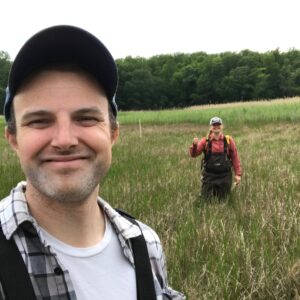
Jim Holmquist (front) and Erika Koontz do socially distanced field work in one of SERC’s wetlands in 2020. (Credit: Jim Holmquist)
Holmquist hopes to use this data to create more accurate maps of wetland methane and saltiness. Along the way, he also hopes to figure out the most efficient way to collect data that captures the vast diversity of U.S. wetlands.
“More sites and fewer data points per site? Fewer sites and more data points per site?” Holmquist asked. “The question we’re trying to answer is, what’s the cost-benefit?”
Luckily, they had an entire network of wetlands they could tap into for data. It’s called the National Estuarine Research Reserve System, or NERR. It consists of 29 coastal wetlands surrounding the U.S., including a few in Alaska, Hawai’i and Puerto Rico.
Under the team’s original plan, Koontz would visit six. But with a pandemic that made physical travel impossible, their world abruptly became…larger. If they could pull off a remote sampling effort, suddenly all 29 wetlands were on the table.
Robert Dunn, research coordinator of the North Inlet-Winyah Bay National Estuarine Research Reserve, one of 14 NERR sites to join the project. (Photo courtesy of Robert Dunn)
“This is the kind of thing that the NERR system is really built for,” said Robert Dunn, research coordinator for the North Inlet-Winyah Bay NERR site in South Carolina. Dunn’s site was one of the places Koontz would have visited in person. But when the team asked if they could ship him a remote sampling kit instead, he immediately agreed.
“Given that this research infrastructure was already in place, I really felt like it was a way to leverage the NERR system’s resources for an interesting sampling effort,” he said.
When deciding which other NERR sites to contact, the team decided to stick with the continental U.S., since shipping beyond those sites was prohibitively expensive. A total of 14 signed on—more than double what they’d envisioned before the pandemic.
All that remained was to figure out what to put in the box.
Reports From The Ground
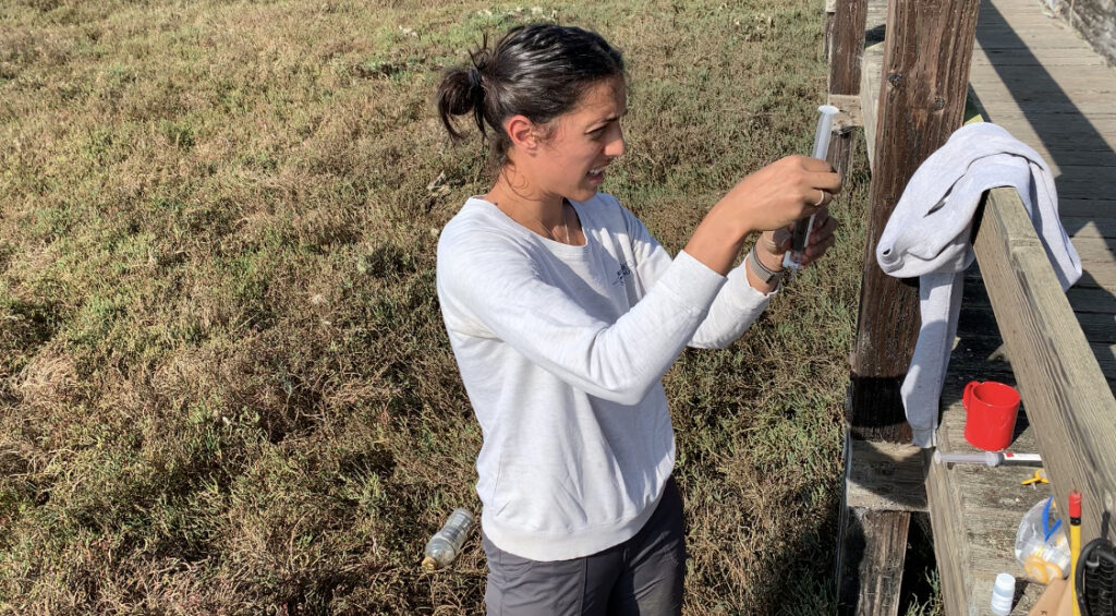
Kat Beheshti takes a sample from a wetland in California’s Elkhorn Slough, near San Francisco. (Photo courtesy of Kat Beheshti)
Kat Beheshti received one of the boxes with the longest journeys. A Ph.D. student, she was doing research at the Elkhorn Slough NERR site near San Francisco Bay, on the other side of the country. She’d been cooped up most of winter and spring 2020 writing her dissertation and, in her own words, was “dying to get out in the slough.”
Her kit from Holmquist’s team arrived in September. It contained stakes, vials, filters, syringes, and sippers for extracting porewater. Koontz had even divided everything up into four Ziploc bags—one for each of the three subsites Beheshti would sample, and one extra, just in case. Koontz had also created a video with Holmquist’s family, where she demonstrated the exact sampling procedure. It was about the closest the team could come to figuratively shipping Koontz’s brain in a box.
“Getting the package and opening everything up, it was like Christmas,” Beheshti said.
Under the new plan, each station’s team would take four samples of methane porewater at three subsites. That would give Holmquist’s team 12 data points from each NERR station. Ideally, since the onsite scientists were volunteering their time, the sampling would take just one or two days. But, as usual, things rarely go as planned.
Beheshti went into the field with her husband, since COVID regulations only allowed scientists to do field work with members of their own households. The pair ended up visiting five subsites over one weekend, because two failed back to back.
“There was just no porewater,” she said, thanks to the marsh’s firm, nearly watertight soil. “We tried different holes. We tried leaving the sipper well in for a time. We tried everything.”
In the end, they found an alternate subsite much farther away, but with similar plants and elevation. Beheshti and her husband didn’t even have the biggest struggle. Another team at Mission Aransas, Texas, waited over six weeks for a hurricane to pass through before they could start sampling.
As autumn 2020 drew to a close, Holmquist’s team found themselves with a tidy store of data to analyze over the winter. Besides methane samples from the outside NERR sites, Koontz and Stearns had also collected data every three weeks at SERC wetlands. They’re hoping all these datapoints will paint a more nuanced picture of America’s wetlands. Capturing differences in saltiness, elevation or plant life could reveal which wetlands emit methane, and which can lock it away. So far the porewater they’ve found with the highest methane concentration—6.5%—came from a SERC freshwater marsh. This hints that saltier marshes may in fact emit less methane. But it’s not conclusive yet.
Koontz, meanwhile, is still busy processing the porewater samples and methane flux data from the past year’s sampling. Someday, in a not-too-distant future, she may be able to visit places that for now she can only touch through water in a sampling vial.
More Research During COVID:
Repurposing Nature To Restore the San Francisco Shoreline
Plastic Cleanup Expedition Helps Research Stay Afloat During Pandemic
Carbon Sensors in the Time of Coronavirus
Orchid Hybrids Offer Clues for Conservation
TEMPEST Experiment Mimics Future Storms Inside Forests

