add_filter('bloginfo_url', function($output, $property){ error_log("====property=" . $property); return ($property == 'pingback_url') ? null : $output; }, 11, 2);
 

Water Quality

...now browsing by category


Using Computer Models to Help Rescue Bay’s Underwater Flora

Thursday, July 17th, 2014

By Sarah Hansen

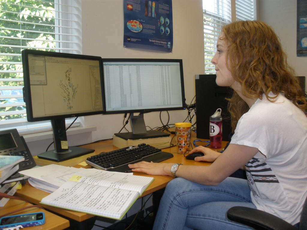
SERC intern Bridget Smith, immersed in a sea of environmental data.

SERC intern Bridget Smith, immersed in a sea of environmental data. (SERC)

Underwater plants like sea grasses provide habitat and feeding areas for a wide range of aquatic life.  They also help filter the water and put the brakes on erosion.   But in Chesapeake Bay, the coverage of underwater plants, or submerged aquatic vegetation (SAV), has been low for decades, and restoration attempts have had mixed results.  That’s why this summer, Smithsonian Environmental Research Center intern Bridget Smith is grappling with 28 years of data to explore which of a host of factors affects SAV in the Bay and how.

Click to continue »

Share

How much could streamside forests reduce nitrogen pollution in the Bay?

Monday, June 23rd, 2014

by Sarah Hansen

Chester_river_queen_annes_co_md

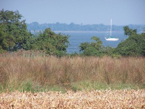
A buffer on the Chester River in Queen Anne’s County, MD protects the river from nitrogen pollution. (USDA)

Nitrogen pollution in the Chesapeake Bay became a serious concern in the mid-20th century after the advent of nitrogen-rich chemical fertilizers. Bay restoration efforts have reduced nitrogen pollution somewhat, but achieving healthy nitrogen levels in the Bay is still a long way off. Croplands remain an important source of the nitrogen that pollutes Chesapeake Bay.

Don Weller, senior scientist at the Smithsonian Environmental Research Center, and his colleague Matthew Baker, associate professor of geography and environmental systems at the University of Maryland, Baltimore County, report in a new study that just over half the nitrogen from croplands might never reach the Bay—if all crop fields were protected by streamside forests and wetlands.

Click to continue »

Share

What’s Hurting the Chesapeake’s Underwater Plants?

Monday, May 5th, 2014

by Kristen Minogue

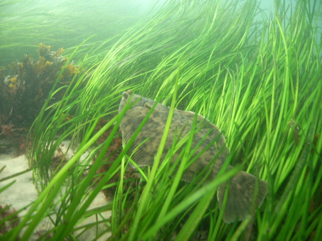
Photo: A flounder in a bed of eelgrass. (NOAA)

A flounder in a bed of eelgrass. Seagrasses and other underwater plants provide food and shelter to many iconic Bay creatures, including blue crabs. (NOAA)

It’s been a difficult century for the submerged flora of Chesapeake Bay.

In the 1930s, wasting disease nearly wiped out the eelgrasses of the North Atlantic. In the ‘50s and ‘60s, they faced onslaughts from invasive grasses like water chestnut and Eurasian milfoil. Finally, in the summer of 1972, Hurricane Agnes pummeled underwater plants to the lowest levels ever reported in the Bay. This April, they received news that, at first glance, seemed positive: Submerged grasses rose 24 percent between 2012 and 2013, according to aerial surveys of the Chesapeake Bay Program.

But those increases were largely limited to a single species: widgeon grass, a plant known for wild fluctuations. At 60,000 acres total, submerged plants still didn’t come near a recent mini-peak in 2002, they’re a far cry from the ultimate goal of 185,000 acres across the Bay. What is holding them back? And—more importantly—how we can we help ensure the latest expansion isn’t just a blip?

Click to continue »

Share

Cracking Down on Mercury

Monday, December 9th, 2013

by Kristen Minogue

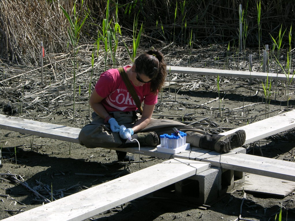
Ally Bullock, a technician in SERC's mercury lab, draws pore water samples from Berry's Creek. (SERC)

Ally Bullock, a technician in SERC’s mercury lab, draws pore water samples from a mid-Atlantic Superfund site. (SERC)

There are places in the U.S. so polluted, eating fish or crabs from their waters isn’t just unhealthy—it can be illegal. The Environmental Protection Agency calls sites like that “Superfund sites,” a label for abandoned or neglected sites that became dumping grounds for hazardous waste. Some of the highest levels of mercury contamination in the U.S. exist in Superfund sites. Cynthia Gilmour knows this first-hand. As a microbial ecologist at the Smithsonian Environmental Research Center, she has worked in several.  But short of digging up the polluted sediments and dumping them elsewhere (an expensive and ecologically risky proposition), not many methods exist to get rid of the problem.

“If we use the traditional technologies of removing that and putting it in a landfill, we don’t have a wetland anymore,” says Upal Ghosh, an environmental engineer from the University of Maryland, Baltimore County, who works with Gilmour.

This fall, Gilmour and Ghosh explored a new technique: using charcoal to trap it in the soil.

Click to continue »

Share

Q&A: The Heart of the Ocean

Tuesday, November 12th, 2013
Before joining MarineGEO, Emmett Duffy did research in waters from Australia to Siberia. (Photo: College of William and Mary)

Before joining MarineGEO, Emmett Duffy did research in waters from Australia to Siberia. (Photo: College of William & Mary)

by Kristen Minogue

It’s “the largest, coolest marine biological project on Earth,” according to its new director, Emmett Duffy. On Sept. 16 Duffy came on board the Tennenbaum Marine Observatories Network, a.k.a. MarineGEO–the Smithsonian’s global network to monitor the oceans. So far it has four stations tracking the ocean’s chemistry and biology, from SERC in Maryland to STRI in Panama. They plan to add at least 10 more in the next decade. Now, after two months on the job, Duffy shares his vision in this edited Q&A.

What’s the main purpose of MarineGEO?

The overall goal really is a very ambitious one. In my mind, it’s to understand what’s at the heart of how marine ecosystems work…and that is biodiversity. The living web from microbes to large predators that are responsible for ecosystem processes like fish production and habitat creation. So basically what we want to do is map marine biodiversity and what it’s doing across the globe.

Click to continue »

Share

Hunt for a Missing Nutrient: Part II

Wednesday, July 24th, 2013

By Katie Sinclair

Alyssa and Carey begin their search for key nutrients in a stream in the Choptank Watershed.

Alyssa and Carey begin their search for key nutrients in a stream in the Choptank Watershed.

The nutrient lab is still plagued by the mystery of the missing nitrogen. More nitrogen enters the watershed than exits it, and the question remains: Why?

How much nitrogen makes it to the bay can have huge impacts on the water quality and bay health. The Choptank watershed, in a farm-heavy area, has much lower levels of nitrogen in stream water than expected. As farmers add fertilizer to their crops, some nitrogen gets taken up by the plants, and the rest washes away into the watershed , eventually reaching the Chesapeake Bay. Of the nitrogen that is added as fertilizer, only 20 to 30 percent of it is accounted for.

In a narrow, slow-moving stream in the Choptank watershed, fondly nicknamed “Pizza Branch” (due to its proximity to a lone pizza joint puzzlingly located in this predominantly farming area), researchers working under Tom Jordan, Principal investigator of the nutrient lab at SERC, are using different methods to help determine what’s happening to the nitrogen. The project is a joint effort between SERC and Tom Fisher’s lab at the Horn Point Laboratory of the University of Maryland.

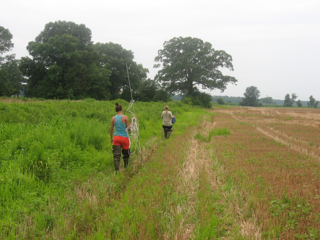
Researchers brave high heat, humidity, and voracious mosquitoes to take water samples, a process that can take all day. While taking water from a stream may seem like a straightforward undertaking, the true complexity comes through in the lab, where analysis of microscopic dissolved compounds can reveal the secrets of a watershed.

“It’s a fun challenge to go all over a stream and take samples and bring them back to the lab, to discover things you can’t see with your eyes,” said Jordan.
Click to continue »

Share

From the Field: One Final Search

Tuesday, February 26th, 2013

by Katrina Lohan

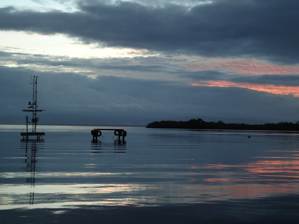
Sunset from the dock at the Bocas del Toro Marine Station, Smithsonian. (Katrina Lohan)

Sunset from the dock at the Bocas del Toro Marine Station, Smithsonian. (Katrina Lohan)

We had very little trouble finding two of the oyster species we needed at three different places. But with only three days left in our trip, we had yet to find Ostrea sp. at more than one location. With our hopes high, we headed toward Portobelo to see if we could find a saline river-like environment that had Ostrea sp. in high enough abundance for us to sample. The drive was gorgeous! We drove along the Atlantic Coast of Panama and stopped at five separate “rivers”, though most of them were pretty small and should probably be called streams instead. We also briefly drove into Portobelo so that we could drive past the old Spanish forts in the city.

We only found Ostrea sp. at one of the rivers, and we didn’t find enough to sample there. Our final stop on our way back to Naos was the French Canal. We had borrowed an inflatable canoe from Mark Torchin, which took us about 20 minutes to pump up. Once we did, we were able to get the canoe into the water and used it to more closely investigate what oysters were growing on the bridge pilings. We had our fingers crossed that it would be Ostrea sp. but, alas, it was Crassostrea sp. instead. Well, I can’t be too upset. While we didn’t get the ideal sampling we were hoping for, it was still a very successful trip!

Next month we head to Merida, Mexico to continue our sampling adventures. Stay tuned!

Complete parasite-hunting stories from Panama >>

Share

From the Field: A Day’s Work

Monday, February 25th, 2013

by Katrina Lohan

Kristina Hill investigates a mangrove root at Rio Alejandro, Panama, to determine what kinds of oysters are living on it. (Katrina Hill)

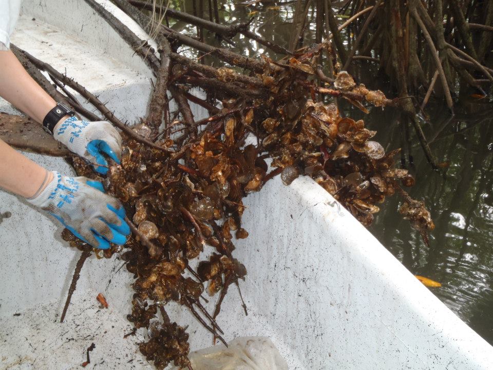
Kristina Hill investigates a mangrove root at Rio Alejandro, Panama, to determine what kinds of oysters are living on it. (Katrina Lohan)

The day after arriving in Panama City, we went out into the field to continue collecting. During our trip in December, we had sampled two locations on the Atlantic side of the Canal. Now we had to complete our sampling for the three genera we had been sampling in Bocas. So we headed out to an area near Colon, Panama, and rented a boat for a few hours to go find oysters in the mangroves. We were successful at finding all three species at one location and two of the three species at another location. Not bad for a single morning.

Share

From the Field: The Language Barrier

Monday, February 25th, 2013

by Katrina Lohan

We were able to find a final location for Ostrea sp. in Bocas del Toro, which wrapped up our sampling there. So it was time to return to Panama City to complete our sampling on the Atlantic side of the Panama Canal.

Now I have been trying to learn and remember some Spanish phrases. There were times when my lack of fluency was awkward, and other times when it is more problematic. Our return trip to Panama City was one of the problematic occasions!

Click to continue »

Share

From the Field: An “Unglamorous” Sampling Site

Thursday, February 21st, 2013

by Katrina Lohan

Life underwater. Fire coral, anemones, sponges and a diverse group of oysters cling to a dock at the Smithsonian's Bocas del Toro Marine Station. (Kristina Hill)

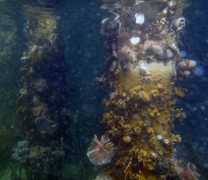
Life underwater. Fire coral, anemones, sponges and a diverse group of oysters cling to a dock at the Smithsonian's Bocas del Toro Marine Station.
(Kristina Hill)

To satisfy our sampling scheme, we needed one more location with all three genera present. The dock at Bocas del Toro wasn’t the most glamorous location to sample, but it was an amazing place to snorkel around. There were many bivalve species and an abundance of individuals for each species located on the pilings. There were lots of different fish, coral, hydroids and sponges. It was beautiful! We decided to make this our third sampling location as it was easily accessible and had all three species–or so we thought.

We know oysters are tricky to morphologically identify, as they have such a wide range of growth patterns. It wasn’t until we were back in the lab and had shucked a few of the oysters open that we realized what we thought was Ostrea sp. in the field was actually a different species, Dendostrea frons. Oops…

Share
Shorelines