
By Sarah Hansen
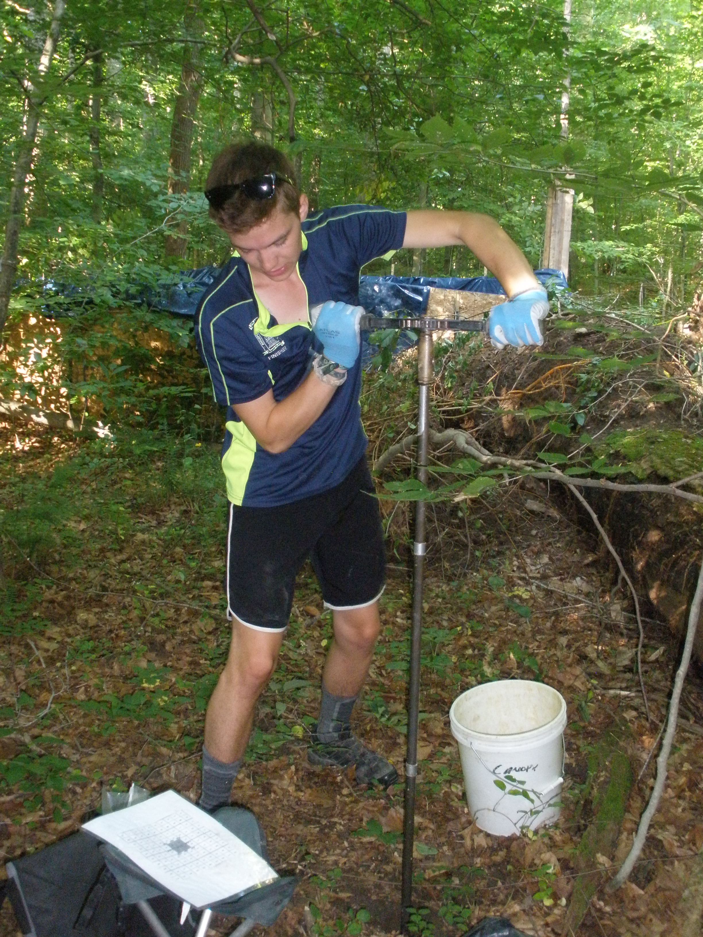
James Biddle, SERC intern, twists a soil augur into the ground to collect a 50- to 100-centimeter deep soil core.
It’s well-known that carbon dioxide levels are rising in Earth’s atmosphere and that extra CO2 contributes to climate change. You might also have learned that trees are “carbon sinks” – they take carbon out of the air and store it in their trunks, roots and leaves. But what about carbon in forest soil?
If you’re not sure, you’re in good company. “We’re just learning how carbon moves through the forest at the surface, and that’s the most accessible part of the forest,” said Sean McMahon, senior scientist at the Smithsonian Environmental Research Center (SERC). “Below ground is much more of a mystery.”
Scientists do know that carbon in the soil comes from living roots or when dead leaves, branches and trunks decay. But the details are hazy. James Biddle, McMahon’s intern, is spending a good chunk of his summer off from the University of Vermont collecting soil samples that he’ll process and then send to Ben Turner, a scientist at the Smithsonian Tropical Research Institute, for carbon analysis. “Basically,” McMahon said, “we’re sending lots of dirt to Panama.”
Before Biddle came on the scene, Turner collected data about the presence of other nutrients in the soil and created a map of the soil’s “horizons.” Horizons separate layers of soil that are significantly different in their nutrient composition. McMahon explained why the previous researchers didn’t look at carbon already: “One of the hardest things is the carbon part.”
McMahon and Biddle’s work is part of the ForestGEO project, a collection of 55 plots in upwards of 20 countries that contains 4.5 million trees. McMahon coordinates the plots in the temperate climate zone. Initiated in 2007, the 16-hectare SERC plot has 33,500 trees and 84 species, and as in all ForestGEO plots, every tree more than a centimeter in diameter 1.3 meters from the ground has been species-tagged.

Biddle removes soil from the augur. It lands on a tarp before he dumps it into the bucket he’ll carry back to the lab.
To collect the soil carbon data, Biddle will take soil core samples and process them in the lab. For each sample, he tramps into the woods, checking tagged trees to confirm he’s in the right subplot. Today he’s in hectare seven. Then he homes in on the center of the plot by looking for small white posts in the ground labeled with codes like “6xyx.” Once he finds the correct location, he lays out the equipment: a five-gallon bucket, a tarp, a portable three-legged stool and a manual soil augur. It’s basically a long metal rod with a hollow cylinder at the end that Biddle ratchets down into the ground by twisting the handle. He repeats the twisting process several times to get the complete 50- to 100-centimeter depth sample he’s going for today.
Biddle doesn’t deny that the sampling is hard work – especially on a day like today, when the humidity is stifling and it’s approaching 90 degrees before 9 a.m. Over the course of the summer, Biddle hopes to have time to take cores from nine locations in each of 16 1-by-1-hectare subplots. At each location, he takes samples at five to seven different depths, depending on where the water table lies. That’s a minimum of 720 cores, each of which requires several manual twists. “I haven’t been to the gym for a month,” he said.
So what will Biddle accomplish through all his hard labor? “We’re creating this whole bank of data that researchers can pull from to create their own hypotheses and draw their conclusions,” he said. The data will be a gold mine for people wanting to study the forest at SERC, but “we’re not just trying to find out what’s going on in Maryland,” McMahon said. “We’re trying to find out how different species interact with the soil so we could start to extrapolate to any forest.”
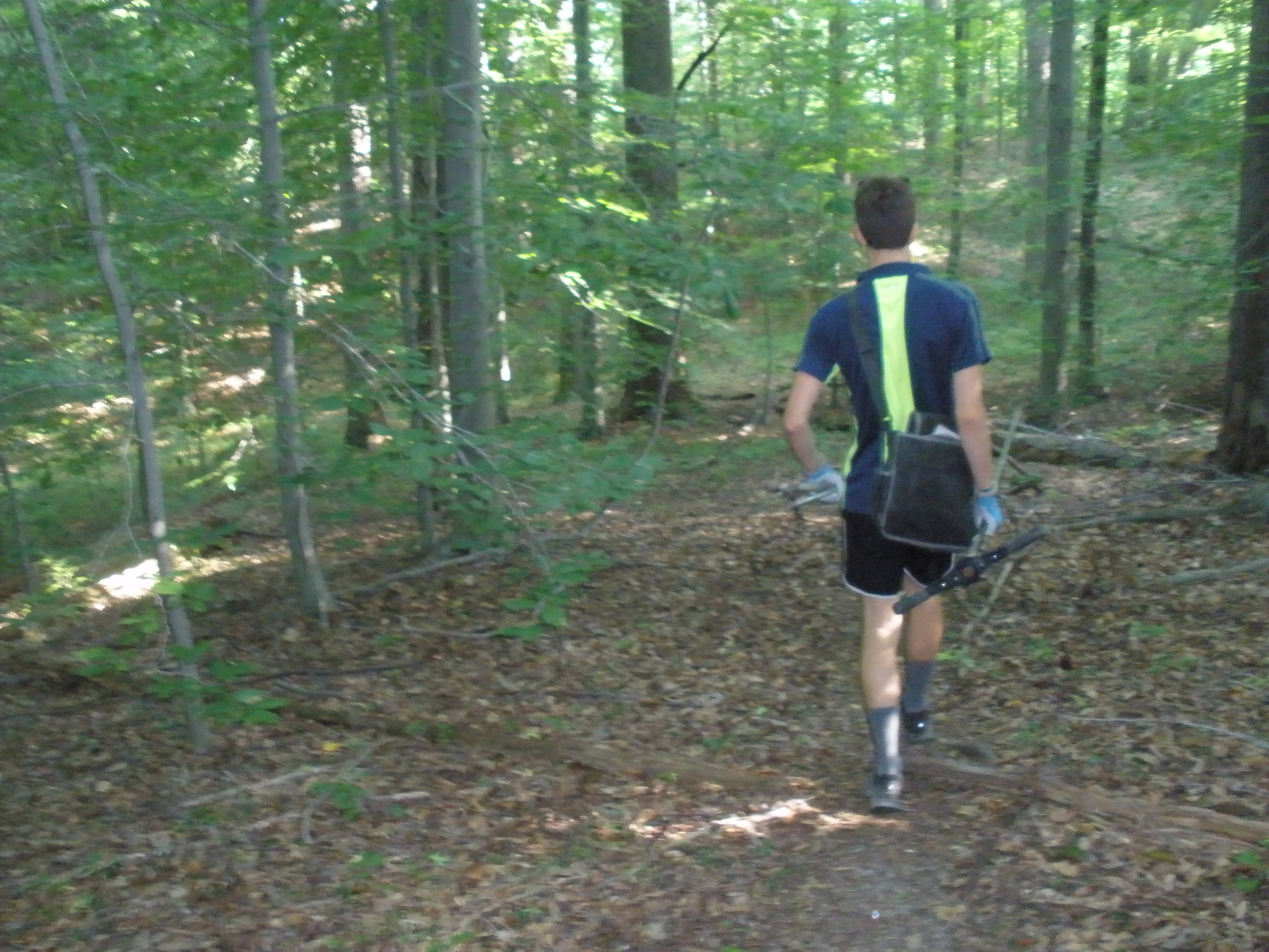
Biddle heads into SERC’s ForestGEO plot for a morning of soil sample collection.
When trees die, the carbon they hold becomes part of the soil. Sometimes, the carbon remains in the soil for decades, even centuries. But other times, it’s broken down by fungi, bacteria, or worms and returned to the atmosphere as carbon dioxide. Some tree species remain in the soil longer than others when they die, because their tissues are tough to break down. Wet and dry environments also change how carbon is stored in the soils, because the organisms that break down plant material can be very sensitive to climate differences.
It’s pretty clear that soil is a carbon sink, as are trees, but basic information like the ratio of carbon in the soil versus carbon in plants above ground is unknown for most forests. That means anything learned here will help refine overall carbon soil models. “We’re still at the phase where we’re going, whoa, twice as much below as above?” said McMahon, emphasizing his field’s youth with an astronomy comparison: “We’re not saying, ‘Man, the sun is hot and big!’”
“It’s just so insane the amount of stuff we’re going to find,” said Biddle. All that “stuff” will be brand new knowledge about the role of soil in the carbon cycle, and a huge boon for scientists hoping to do the important work of managing Earth’s forests through climate change.
