By Katie Sinclair
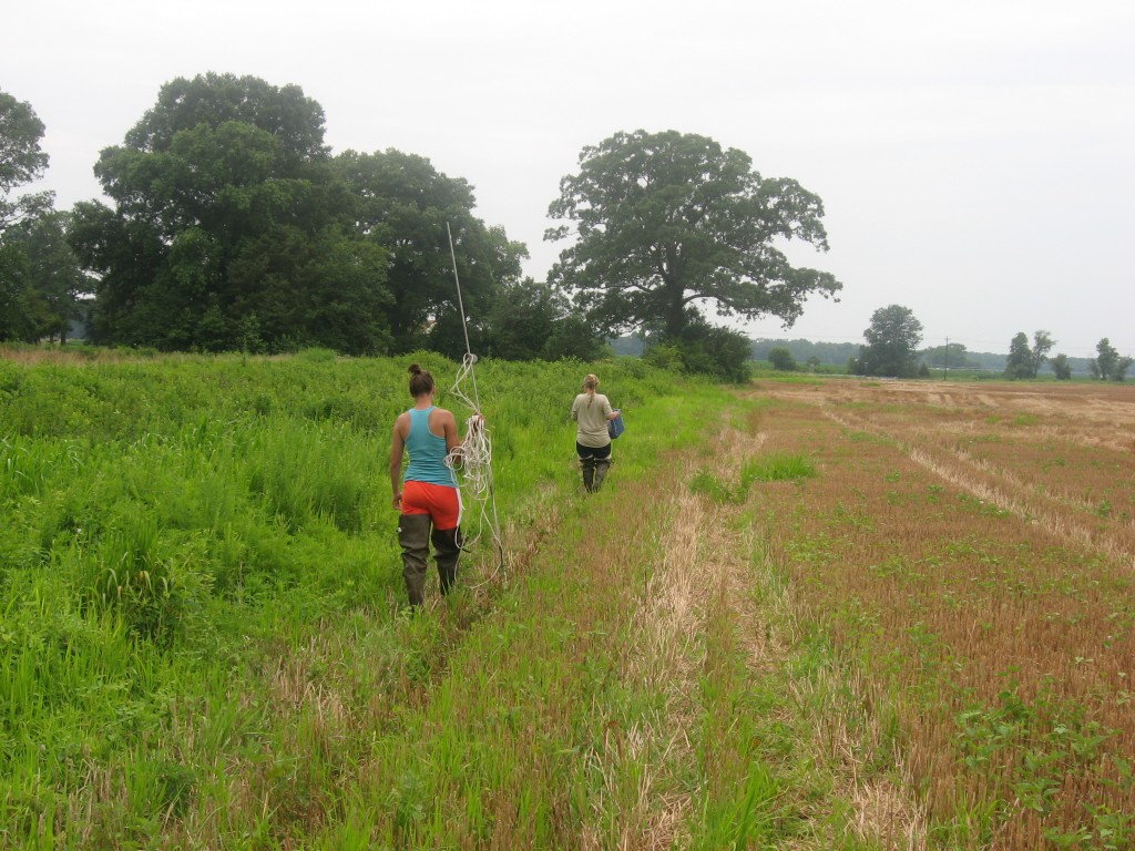
Alyssa and Carey begin their search for key nutrients in a stream in the Choptank Watershed.
The nutrient lab is still plagued by the mystery of the missing nitrogen. More nitrogen enters the watershed than exits it, and the question remains: Why?
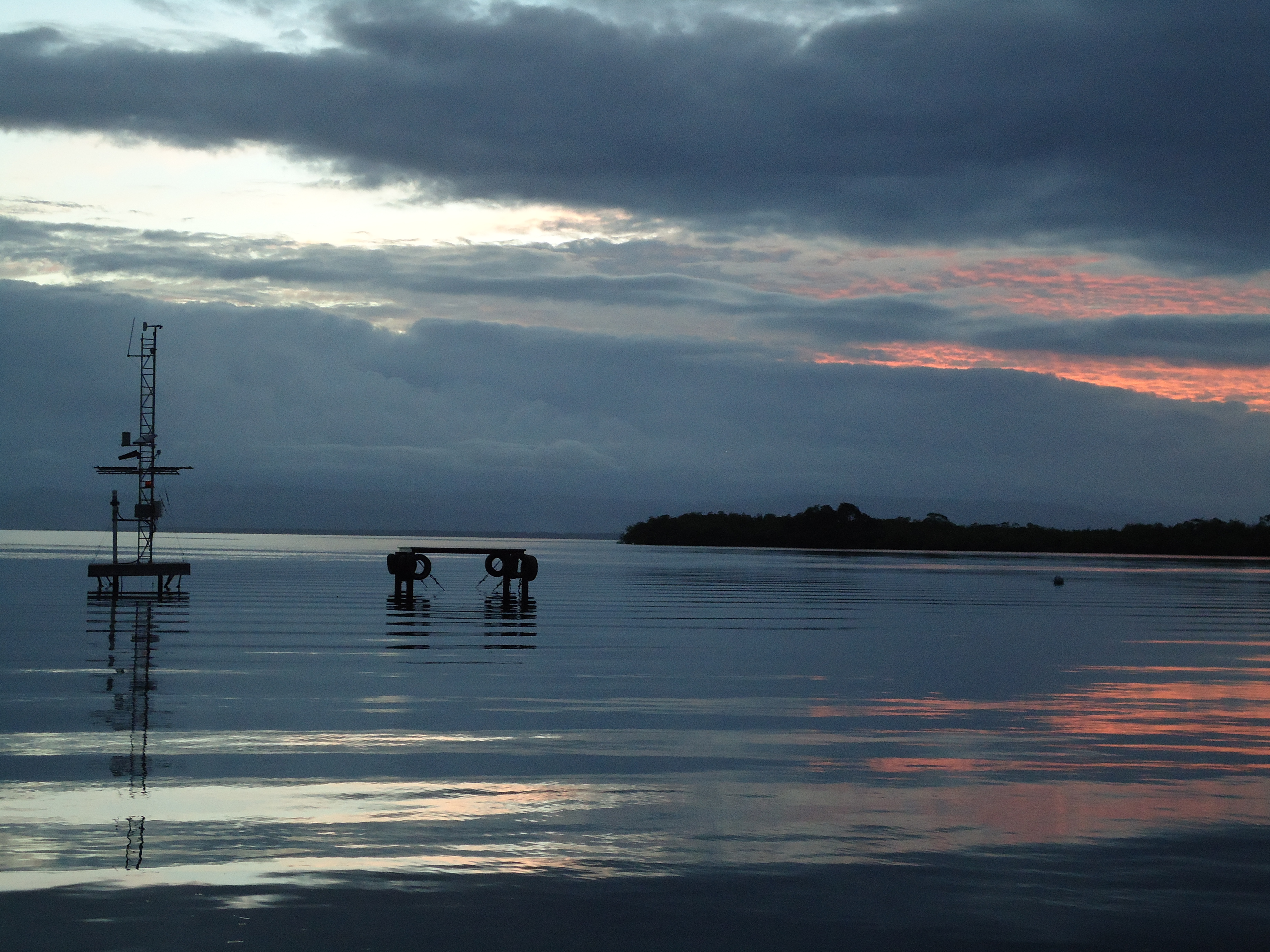
How much nitrogen makes it to the bay can have huge impacts on the water quality and bay health. The Choptank watershed, in a farm-heavy area, has much lower levels of nitrogen in stream water than expected. As farmers add fertilizer to their crops, some nitrogen gets taken up by the plants, and the rest washes away into the watershed , eventually reaching the Chesapeake Bay. Of the nitrogen that is added as fertilizer, only 20 to 30 percent of it is accounted for.
In a narrow, slow-moving stream in the Choptank watershed, fondly nicknamed “Pizza Branch” (due to its proximity to a lone pizza joint puzzlingly located in this predominantly farming area), researchers working under Tom Jordan, Principal investigator of the nutrient lab at SERC, are using different methods to help determine what’s happening to the nitrogen. The project is a joint effort between SERC and Tom Fisher’s lab at the Horn Point Laboratory of the University of Maryland.
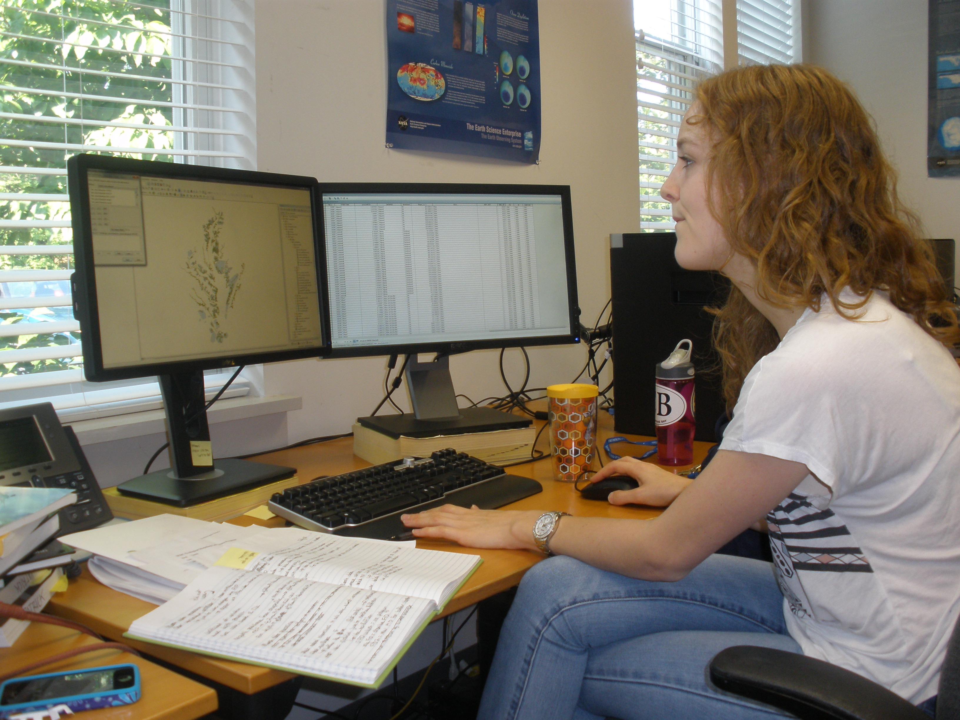
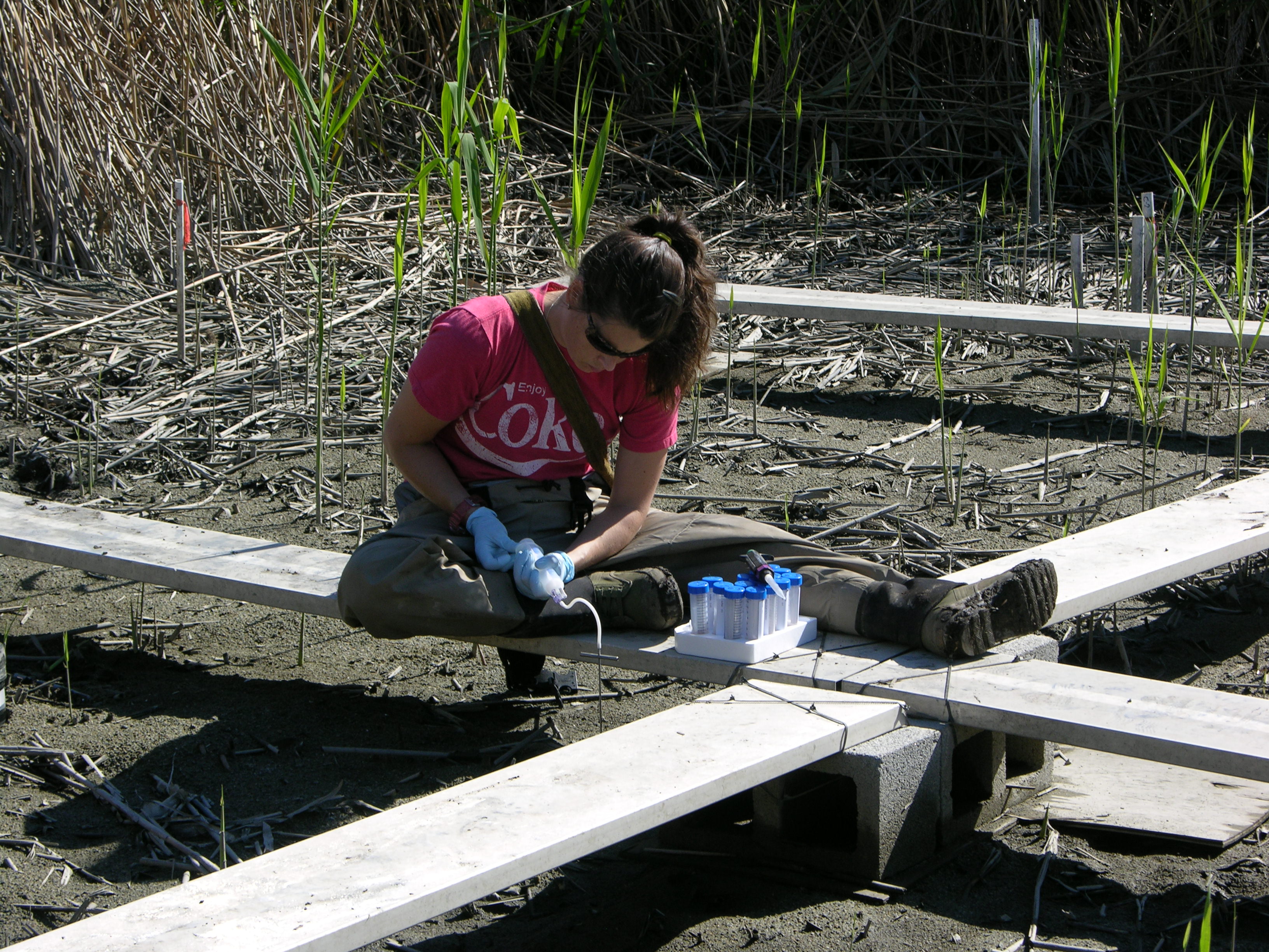
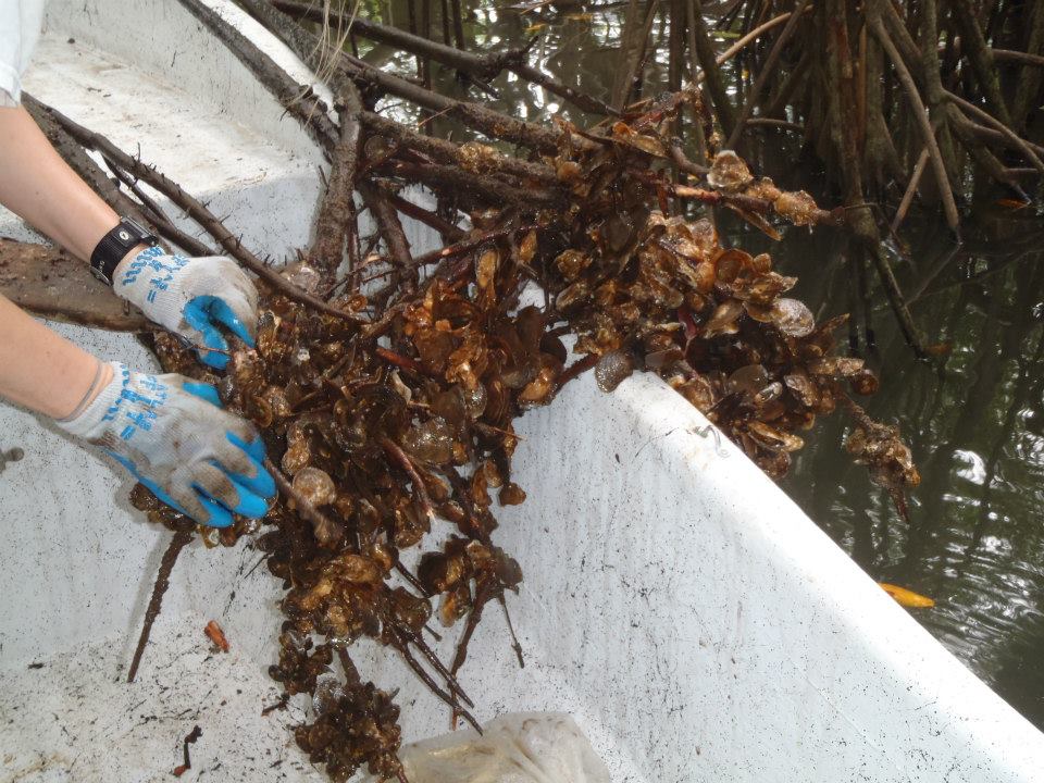
Researchers brave high heat, humidity, and voracious mosquitoes to take water samples, a process that can take all day. While taking water from a stream may seem like a straightforward undertaking, the true complexity comes through in the lab, where analysis of microscopic dissolved compounds can reveal the secrets of a watershed.
“It’s a fun challenge to go all over a stream and take samples and bring them back to the lab, to discover things you can’t see with your eyes,” said Jordan.
Click to continue »